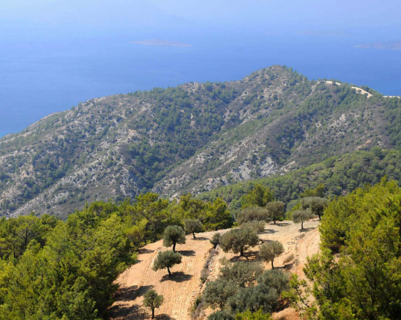
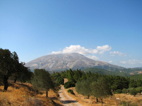
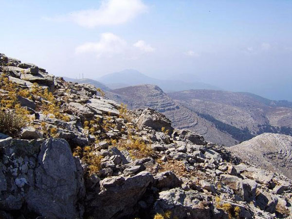
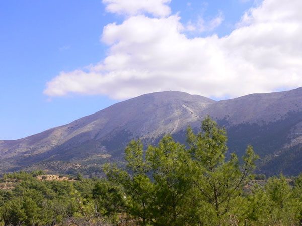
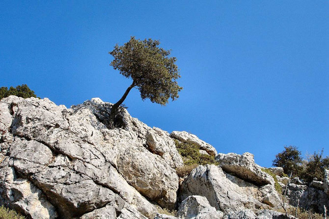
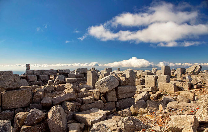
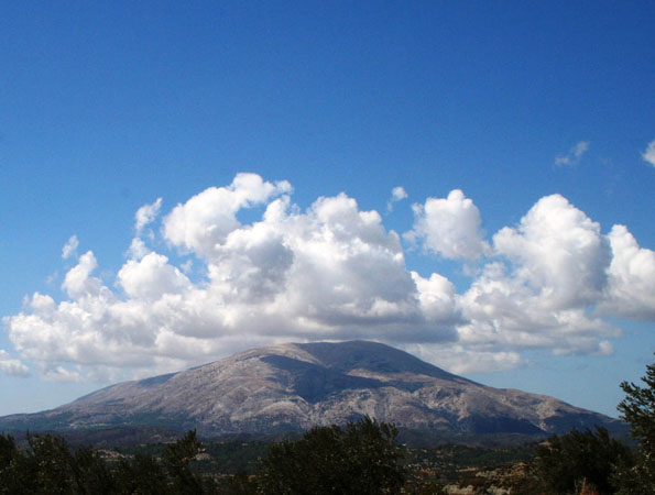
It is the highest mountain on the island, with the altitude of the highest peak reaching a height of 1215 meters. It is known that in antiquity there was taking place the worship of "Atavyros Zeus", while archaeological remains have survived until today. The ascent to the mountain can be done by two different paths while on its slope you will pass from a forest of cypress.
From the top of Atavyros descends the river Kontaris, passing through the green valley and ending at Lardos Bay. The small river hosts the small fish that are found in other places on the island as well. During the summer water is retained only at some points and not throughout its length.
Use the map or the alphabet below to find your favorite destination!
Achaea Prefecture
Aegina
Aetoloakarnania Prefecture
Agathonisi
Agistri
Alonissos
Amorgos
Anafi
Andros
Antiparos
Arcadia Prefecture
Argolida Prefecture
Arta Prefecture
Astypalea
Attiki Prefecture
Kalymnos
Karditsa Prefecture
Karpathos
Kasos
Kastelorizo
Kastoria Prefecture
Kavala Prefecture
Kea (Tzia)
Kefalonia
Kerkyra (Corfu)
Kilkis Prefecture
Kimolos
Korinthia Prefecture
Kos
Koufonisi (Ano & Kato)
Kozani Prefecture
Kythira - Antikythira
Kythnos
Samos
Samothrace
Santorini
Schinoussa
Serifos
Serres Prefecture
Sifnos
Sikinos
Skiathos
Skopelos
Skyros
Spetses
Symi
Syros
Would you like to combine skiing in the morning and then go swimming in the afternoon, all in one region? Click to choose your interests and see in which part of Greece you enjoy them. Combinations are endless!
