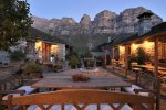
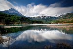
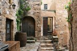
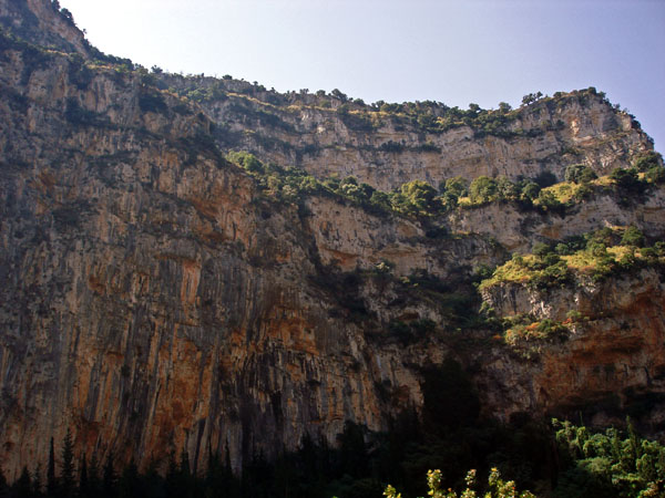
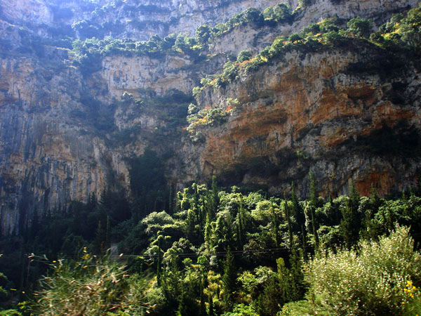
A large impressive gorge crossing Arakynthos. Impressive vertical cliffs, 300m high, rise on its slopes. Today it is driven through by the National Road Antirrio – Ioannina. During the prehistoric era the canyon served as an exit for the waters of the gigantic system of lakes covering all the currently existing gorges and lakes in the area between Merkyneia-Agrinio-Amphilochias. The materials carried by Acheloos in combination with the geological alterations changed this area immensely. Acheloos now “dumps” its waters further down in the west and from the older larger lake we now have the smaller lakes of Trichonida, Lysimachia, Ozeros and Amvrakia.
The environmental value of the canyon is particularly high although lots of rare species of birds that used to live in its rocks and nearby forests such as the Bearded Vulture, the Black Vulture, the Royal and Golden Eagles, are now endangered.
The vultures nesting today are on the brink of extinction. Some species nesting on rocks still build their homes on this gorge, such as dawes, kestrels, blue rock thrushes, alpine swifts and others. Short-toed eagles, sparrowhawks, hobbies and the common buzzard still nest in the forests surrounding the gorge.
Flora in the gorge is also of high interest with tufts of aging judas trees, hackberries and holly oaks.
The town Pylini, known from Homer, stood on the north of the canyon. Here we can still see the ruins of the fortified tower that used to be in operation during the Ottoman and Venetian period. The settlement of Fragoulaika is located further in the north.
In the middle of the gorge still exists the Monastery of Zoodochos Pigi (lifegiving spring) and the Church of Agia Eleousa in a roofed cave on a precipitate rock. There used to be the skete, where clostered Yiannis Gounaris (Zoukas), who saved Messolonghi in 1822 during its first siege from the army under the command of Omer Vryonis.
A bluff trail climbs on the cliffs, which is accessible today and leads through the canyon higher, to the plateau of Arakynthos, the settlements Kato Ampelia and Ellinika. Part of the rocks on the north side is suitable for rock climbing and several routes have already been opened up by Greek climbers.
Source: http://www.agro-tour.net/
Use the map or the alphabet below to find your favorite destination!
Achaea Prefecture
Aegina
Aetoloakarnania Prefecture
Agathonisi
Agistri
Alonissos
Amorgos
Anafi
Andros
Antiparos
Arcadia Prefecture
Argolida Prefecture
Arta Prefecture
Astypalea
Attiki Prefecture
Kalymnos
Karditsa Prefecture
Karpathos
Kasos
Kastelorizo
Kastoria Prefecture
Kavala Prefecture
Kea (Tzia)
Kefalonia
Kerkyra (Corfu)
Kilkis Prefecture
Kimolos
Korinthia Prefecture
Kos
Koufonisi (Ano & Kato)
Kozani Prefecture
Kythira - Antikythira
Kythnos
Samos
Samothrace
Santorini
Schinoussa
Serifos
Serres Prefecture
Sifnos
Sikinos
Skiathos
Skopelos
Skyros
Spetses
Symi
Syros
Would you like to combine skiing in the morning and then go swimming in the afternoon, all in one region? Click to choose your interests and see in which part of Greece you enjoy them. Combinations are endless!
