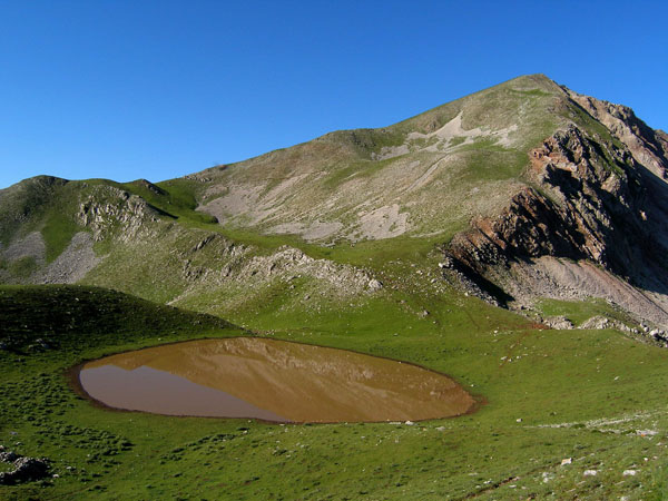
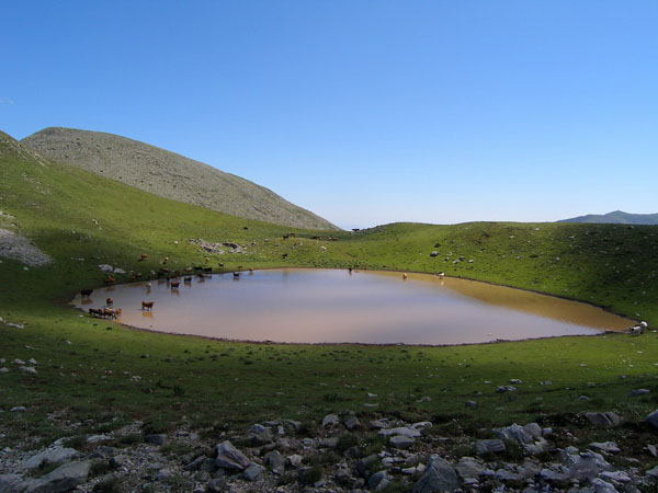
This path starts from the shelter and it goes up to the ski center. The peak of this route is Tebla and just before that at the left side you will meet the first survey monument (a cement baluster on which a measurement of high accuracy of the region is shown). From there you can clearly see the peak of Voutsikaki and on reaching Petsalouda you will be at the exact point where the final part of the climbing route begins. Start from the right side and as you go higher you can move to the left side. The peak of the mountain is rewarding with a panoramic view to the surrounding peaks.
Use the map or the alphabet below to find your favorite destination!
Achaea Prefecture
Aegina
Aetoloakarnania Prefecture
Agathonisi
Agistri
Alonissos
Amorgos
Anafi
Andros
Antiparos
Arcadia Prefecture
Argolida Prefecture
Arta Prefecture
Astypalea
Attiki Prefecture
Kalymnos
Karditsa Prefecture
Karpathos
Kasos
Kastelorizo
Kastoria Prefecture
Kavala Prefecture
Kea (Tzia)
Kefalonia
Kerkyra (Corfu)
Kilkis Prefecture
Kimolos
Korinthia Prefecture
Kos
Koufonisi (Ano & Kato)
Kozani Prefecture
Kythira - Antikythira
Kythnos
Samos
Samothrace
Santorini
Schinoussa
Serifos
Serres Prefecture
Sifnos
Sikinos
Skiathos
Skopelos
Skyros
Spetses
Symi
Syros
Would you like to combine skiing in the morning and then go swimming in the afternoon, all in one region? Click to choose your interests and see in which part of Greece you enjoy them. Combinations are endless!
