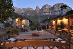
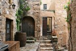
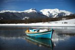
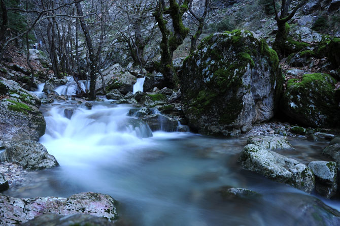
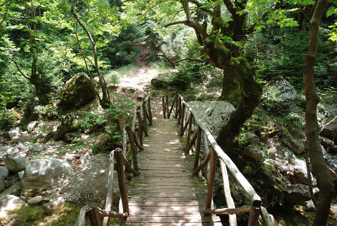
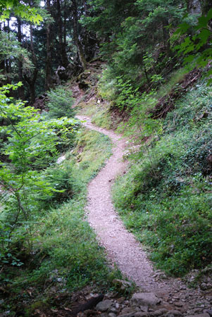
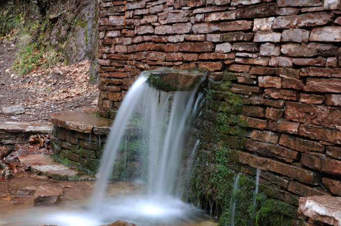
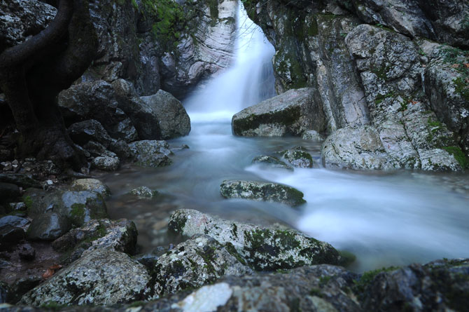
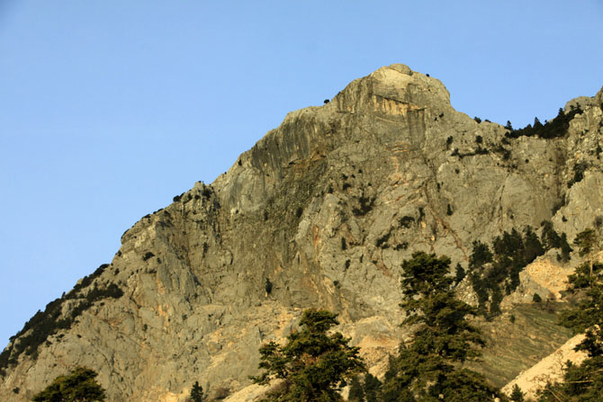
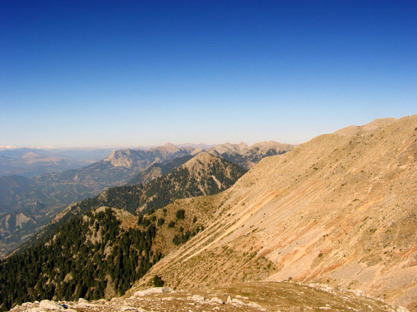
It is the natural border between the prefectures of Etoloakarnania and Evrytania. Panetoliko is the last part of southern Pindos with an altitude of 1922 meters. Its peak is located in Etoloakarnania and it is the highest mountain of the prefecture. The foothills are covered with cedars and up to the 1700 meters there are also pine trees. Its highest part is covered with alpine vegetation. The hiking trails of the mountain can be connected with a visit to the monastery of Prousos as well as to the lake Trichonida.
Shelter: Hiking club of Agrinio: T: (+30) 26410 45512, 6977071165
Use the map or the alphabet below to find your favorite destination!
Achaea Prefecture
Aegina
Aetoloakarnania Prefecture
Agathonisi
Agistri
Alonissos
Amorgos
Anafi
Andros
Antiparos
Arcadia Prefecture
Argolida Prefecture
Arta Prefecture
Astypalea
Attiki Prefecture
Kalymnos
Karditsa Prefecture
Karpathos
Kasos
Kastelorizo
Kastoria Prefecture
Kavala Prefecture
Kea (Tzia)
Kefalonia
Kerkyra (Corfu)
Kilkis Prefecture
Kimolos
Korinthia Prefecture
Kos
Koufonisi (Ano & Kato)
Kozani Prefecture
Kythira - Antikythira
Kythnos
Samos
Samothrace
Santorini
Schinoussa
Serifos
Serres Prefecture
Sifnos
Sikinos
Skiathos
Skopelos
Skyros
Spetses
Symi
Syros
Would you like to combine skiing in the morning and then go swimming in the afternoon, all in one region? Click to choose your interests and see in which part of Greece you enjoy them. Combinations are endless!
